
Recreation
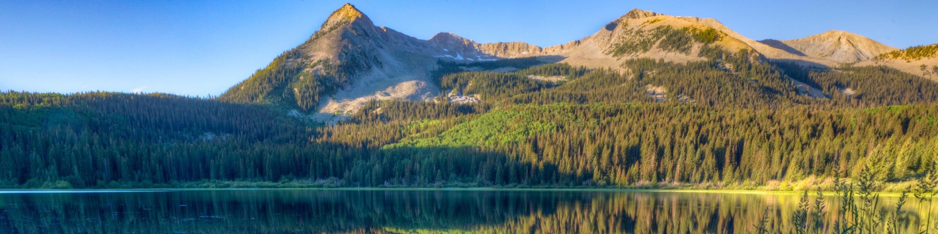
Grand Mesa, Uncompahgre and Gunnison National Forests offer scenery and an abundance of opportunities for outdoor recreation. Over 3,500 miles of trails and routes provide access to areas of rugged beauty and solitude. Many were carved by indigenous peoples, early explorers, and miners, and offer an experience that connects users to the land and to the past. The mountains, plateau, and mesa that make up the forest will always provide a scenic backdrop and thus a component of the quality of life in the area.
We invite you to visit our forest and enjoy the beauty, history and challenges it has to offer. Recreation, motor vehicle and quad maps are available. View a Ranger District location map.

Blue Creek #620
The Blue Creek Trail #620 descends through a diverse mixture of vegetation from its upper trailhead to the lower trailhead near the confluence of Massey Branch and Blue Creek. In the upper sections…
Blue Lake #637
The Blue Lake Trail #637 begins at an intersection with the Bridal Veil Trail #636 and ends at Blue Lake. The trail is steep and rugged in places. At about 0.8 miles it intersects with a trail…
Blue Lake #707.1A
The Blue Lake Trail #707.1A climbs at a gradual grade from the lower trailhead off the Spring Camp Trail #707 through open stands of aspen and mixed spruce/fir to the upper trailhead on the northwest…
Blue Lakes #201
The Blue Lakes Trail #201 begins at the Blue Lakes Trailhead on Forest Service Road #851.1 and ends at the Blue Lakes Trailhead on Forest Service Road #853.1B. After passing through a gate, the trail…
Bonham #512
The Bonham Trail #512 starts at the end of Forest Service Road #258.1C and ends near Bonham Reservoir at FSR #259, Bureau Pipeline Road. This trail gradually descends as it travels east toward Bonham…
Bonham Snowmobile #544
The Bonham Snowmobile Trail #544 begins the National Forest boundary on Forest Service Road 121, Big Creek Road, and ends at an intersection with the Sunlight to Powderhorn Trail (SP). On the…
Bonholder #467
Bonholder Trail #467 begins at FSR #592 on private land and ends at the Skyline Trail #465. The only way to access this trail, without permission from the landowner, is to follow the Skyline Trail…
Boundary #525
The Boundary Trail #525 serves as a connecting route between the Silt Road, FSR #270 and the Owens Creek Road, FSR #268 along the Grand Mesa/White River National Forest Boundary. The trail gains a…
Boundary Cutoff #526
The Boundary Cutoff Trail #526 serves as a connecting route between the Sheep Creek Road, FSR #281, and the Boundary Trail #525 on the Grand Mesa/White River National Forest Boundary. The trail…
Bowman Creek #570
The Bowman Creek Trail #570 begins at County Road 742 and dead ends at the Gunnison/White River National Forest boundary. The Trail parallels Bowman Creek for most of the way, continuing past the…