
Recreation
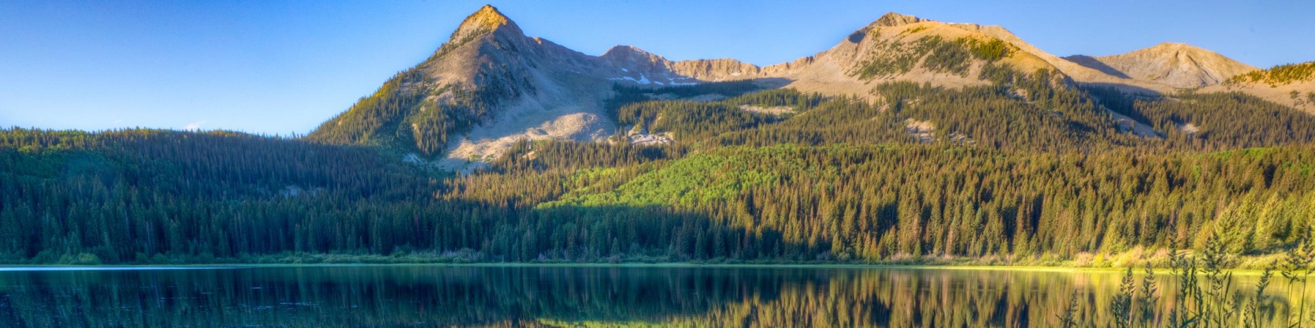
Grand Mesa, Uncompahgre and Gunnison National Forests offer scenery and an abundance of opportunities for outdoor recreation. Over 3,500 miles of trails and routes provide access to areas of rugged beauty and solitude. Many were carved by indigenous peoples, early explorers, and miners, and offer an experience that connects users to the land and to the past. The mountains, plateau, and mesa that make up the forest will always provide a scenic backdrop and thus a component of the quality of life in the area.
We invite you to visit our forest and enjoy the beauty, history and challenges it has to offer. Recreation, motor vehicle and quad maps are available. View a Ranger District location map.
From the deserts of New Mexico to the alpine peaks of the northern Rockies, the Continental Divide Trail winds its way through the stunning and diverse landscapes of the central United States, a ribbon that ties together many of the defining moments and movements in our nation’s history.
The trail stretches across the United States some 3,100 miles between the borders of Mexico and Canada, twisting and turning to follow the spine of the continent. The dry, sandy deserts of New Mexico slowly rise into the breathless peaks of Colorado, descending into Wyoming’s grassy plains and the mystical landscape of Yellowstone. The trail then moves along the forested mountains of Idaho and Montana before ascending the tall, sharp, rocky peaks of Glacier National Park, with the Canadian border on the horizon.
The Continental Divide Trail blazes a path through some of the nation’s most treasured scenic terrain. Some people attempt to travel the entire 3,100 miles in a single season, while others enjoy the trail a few miles at a time.

From the deserts of New Mexico to the alpine peaks of the northern Rockies, the Continental Divide Trail winds its way through the stunning and diverse landscapes of the ce