
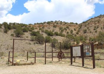
Recreation
Find the perfect recreation opportunity for you by searching either by region or by opportunity. Be sure to follow Leave No Trace principles and all applicable laws and regulations while recreating in order to leave the Forest and Grasslands better than you found them.
Use the interactive Visitor Information Map to plan your visit.
Below is a selection of recreation sites and activities for you to enjoy. Can't find what you are looking for? More information on Trails can be found here.

The Black Kettle National Grassland contains 31,300 acres with 30,724 acres located near Cheyenne, Oklahoma, and the remaining 576 acres located near Canadian, Texas and comprising the Lake Marvin Recreation Area.

Within the short grass prairie of the southern Great Plains lie the Kiowa and Rita Blanca National Grasslands. These grasslands encompass approximately 230,000 acres in six counties within New Mexico, Texas, and Oklahoma.
The Magdalena Mountains, south of the town of Magdalena, rise sharply from an elevation of 6,600 feet to 10,783 feet at the summit of South Baldy Peak.

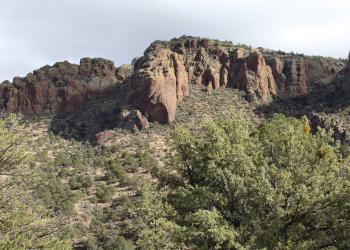
The San Mateo Mountains, southwest of Magdalena, parallel the Rio Grande Valley. National forest lands begin on the high benches west of the river and extend up and over the mountains’ crest.

The McClellan Creek National Grassland contains 1,449 acres near Pampa, Texas, and includes the Lake McClellan Recreation Area.
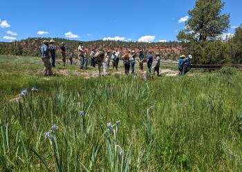
Among the many attractions of the Manzano Mountains is the largest stand of Rocky Mountain large tooth maples in New Mexico at the head of Tajique Canyon.

Popular with equestrian riders, the Manzano Mountains West offer portal trails into the Wilderness that connect to larger trail systems offering opportunities for exploration.
Mt. Taylor is the highest peak around at 11,301 feet and is an area of special religious and cultural significance to several Native American communities.
The Zuni Mountains are rich in cultural resources including many historic sawmills and logging communities. Now, the Zuni's are home to a network of mountain biking trails that draw visitors from all over the Southwest.
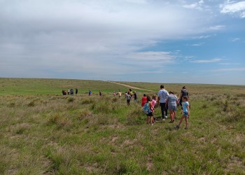
Within the short grass prairie of the southern Great Plains lie the Kiowa and Rita Blanca National Grasslands.
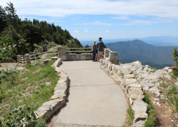
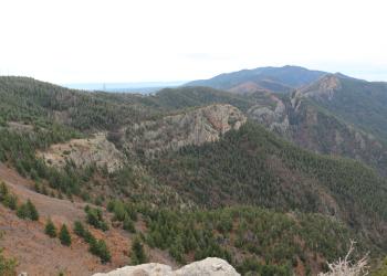
Just east of Albuquerque are the most visited mountains in New Mexico. Millions of people journey into the Sandia Mountains each year.
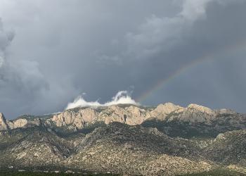
The Sandia Mountains are part of the signature of Albuquerque's unique sense of place.
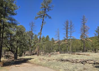
The Manzanita Mountains rise south of Tijeras Canyon and extends to Cañon de los Seis at the north end of the Manzano Mountains, about 15 miles to the south. The area has an extensive network of trails available for motorized and nonmotorized use that are most popular with mountain bikers.
Strip Mine Trailhead & Strip Mine Trail 51
Site Open
Access to Sandia Mountain Wilderness. Please refer to the Placitas Area Trail System map and Sandia Mountain Trails map to plan your course.Cell phone coverage is not guaranteedIt is the…
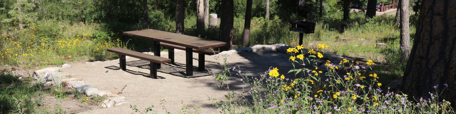
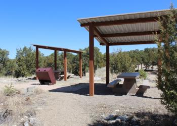
Sulphur Canyon Picnic Site
Site Open
Sulphur Canyon Picnic Site has picnic areas dispersed thoroughout the site. They are located along the paved lot and down into the trees. There is no water for drinking, however, there are…
Tajique Campground
Site Open
Small (6 unit) site at 6800ft near Tajique Creek No trailers; pronounced "Tah-HEE-key"
Tecolote Trailhead & Tecolote Trail 264
Site Open
Tecolote Trail 264, is a stand-alone trail with 360 degree views. It is 1.2 miles one way, and is accessed at Tecolote Trailhead.Please refer to the Sandia Mountain Trails map to plan your…
Thompson Grove Picnic Site
Site Open
Trail Canyon Trailhead
Site Open
Tramway Trailhead and Trail 82
Site Open
Tramway Trailhead gives access to Tramway Trail 82 (southern terminous). It is located on Sandia Peak Tram property.Tramway Trail 82 is 2.6 miles long. It begins at the base of the Sandia Peak…
Tree Spring Trailhead and Tree Spring Trail 147
Site Open
Tree Spring Trailhead leads directly to Tree Spring Trail. The trail is 2.0 miles long one way. It passes by the junction of Oso Corredor Trail 265 and ends at the intersection of South Crest…
Trigo Trailhead
Site Open
Tunnel Canyon Trailhead
Site Open
Tunnel Canyon Trailhead is located approximately two and a half miles south of I-40. It gives access to Tunnel Canyon Trail 05145, which is 2.4 miles long, and Birdhouse Ridge Trail 05411, both of…