

Doe Mountain Trail No. 60
This trail not only provides a big dividend of scenery for a moderate outlay of exertion, but it is easily accessible as well.
From the ample parking lot at its trailhead, the Doe Mountain Trail switchbacks directly up the north side of this low, flat-topped Mesa. As you climb, you'll want to take time out to enjoy the excellent views of the surrounding countryside. A layer of erosion resistant cap rock has given Doe Mountain its classic mesa shape and provides hikers with a great platform from which enjoy the panoramic view.
From this 400 foot high perspective, you can see a number of the Sedona Red Rocks Country's more prominent landmarks . You'll see Bear, Maroon, and Wilson mountains, Loy, Boynton, and Secret Canyons, Chimney Rock, and the Cockscomb to name a few. Sedona is visible to the east and off to the south, Munds Mountain and Sycamore Pass mark the location of Sycamore Canyon and the Verde Valley.
Length: 0.7 miles to the top of the mesa, 1.3 miles around the edge.
Photo Gallery


Specific Trail Information
Trail Number
Trail Type
General Information
- Difficulty: Moderately challenging
- Trailhead Elevation: 4,615 ft.
- Elevation Gain: 542 ft.
- Length: 0.7 miles to the top of the mesa, 1.3 miles around the edge.
- Time: 1 hour and 30 minutes.
Red Rock Pass or America the Beautiful Pass required to park at the trailhead.
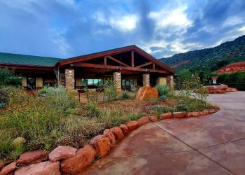
Address: 8375 State Route 179, Sedona, AZ 86351
Phone: 928-203-2900
Hours: Wednesday 12 p.m.-4:30 p.m. All other days, open 9 a.m.-4:30 p.m.
Office Email: SM.FS.Cof_Webmail@usda.gov
Getting There
Directions
Location: About 36 miles from Flagstaff (an hour and a half travel time); 5 miles (15 minutes) from Sedona. All roads are paved.
Access: Drive 27 miles south from Flagstaff to Sedona on state Route 89A. Continue through Sedona to Dry Creek Road at the west end of town. Turn north on Dry Creek Road (Forest Road 152C) three miles to the Boynton Canyon intersection then left on FR 152C about a mile to the trailhead.
GPS (Map): 34°53'36.7"N 111°51'54.5"W