

Fatmans Loop Trail No. 25
Fatmans Loop Trail (yes, it's spelled Fatmans without an apostrophe) is part of the Mount Elden Dry Lake Hills Trail System.
For the most part, the Fatmans Loop is an easy walk, although it does have a few short steep sections and keep in mind that the trailhead starts at 6,876 feet. Scenic overlooks of Flagstaff, the city's eastern suburbs and the surrounding countryside make this a good place for a stroll when you have time to stop and enjoy the view. Along the route there are a number of interesting rock formations that bear witness to Mt. Elden's volcanic origins. One of these is a bit of a tight squeeze, hence the trail's name.
The area through which this trail leads supports a diverse community of plant species including upland trees such as white fir and ponderosa pine. Shrubs and smaller trees more usually associated with lower altitudes are also present. Among these are cliff rose, alligator juniper and broadleaf yucca. Wildlife you may encounter on this trail includes Abert's squirrels, pygmy nuthatches, mule deer and grey foxes along with more commonly encountered animals such as Steller's jays and ravens.
This trail provides access to the Elden Lookout Trail which continues two miles and a 2,404 feet gain from the parking lot to the summit of Mt. Elden.
Photo Gallery


Specific Trail Information
Trail Number
Trail Type
General Information
- Difficulty: Moderate.
- Trailhead Elevation: 6,874 ft.
- Elevation Gain: 600 ft.
- Length: 2.5 mile loop.
- Time: 1-1.5 hours.
- No motorized vehicles on the trail.
- Dogs must always be on a leash, and owners must pick up after their pets. DO NOT leave bags of poop from your pets along the trail/trailhead for picking up later. If your pet defecates, you must bag the poop and take it with you. If you do not want to do this, do not bring your pet on these trails.
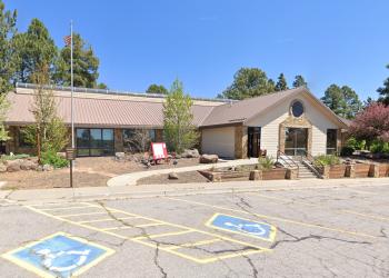
Address: 5075 N. Highway 89, Flagstaff, AZ 86001
Phone: 928-526-0866
Hours: Monday-Friday, 8 a.m. - 4 p.m. (Closed on federal holidays)
Office Email: SM.FS.Cof_Webmail@usda.gov
Getting There
Parking
The parking lot can accommodate about 30-40 vehicles.
Directions
Location: Near the Flagstaff Mall on Highway 89 in east Flagstaff.
Access: From the Flagstaff Mall, drive northeast on U.S. Highway 89 about half a mile (past Flagstaff Ranger Station) to a trailhead parking lot on the northern side of Hwy 89.
GPS (Map): 35°13'49.1"N 111°34'45.2"W