
Red Rock Loop Trail No. 118
The Red Rock Trail Loop is a narrow trail that links the Sedona Red Rock High School with Lower Red Rock Loop Road. The trail is open to non-motorized users: horses, hikers and bikes. It offers splendid views of the red rocks and is part of a loop around Scheurman Mountain (if you link it up with the Scheurman Mountain Trail). It is an easy to moderate trail which was built on top of a restored pipeline right-of-way.
Specific Trail Information
Trail Number
Trail Type
General Information
- Difficulty: Easy to moderate.
- Trailhead Elevation: 4,202 ft.
- Elevation Gain: 245 ft.
- Length: 1.73 miles.
- Time: 1 hour.
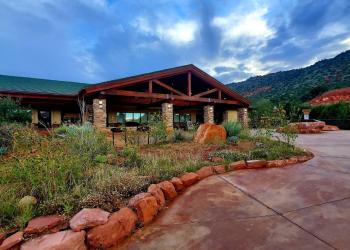
Address: 8375 State Route 179, Sedona, AZ 86351
Phone: 928-203-2900
Hours: Wednesday 12 p.m.-4:30 p.m. All other days, open 9 a.m.-4:30 p.m. (Closed on federal holidays)
Office Email: SM.FS.Cof_Webmail@usda.gov
Getting There
Directions
Location: At the southwest edge of Sedona next to Sedona Red Rock Highschool.
Directions: From Sedona, head south on state Route 89A. Go past the first turnoff for Red Rock Loop Road by Sedona Red Rock High School and travel for about another 1.4 miles and turn left on Red Rock Loop Road. Drive down Red Rock Loop Road for about 0.4 miles and then turn left (east) on Red Rock Loop Trailhead road where you drive back about 0.1 miles to a cul-de-sac where you can park your car.
GPS (Map): 34°50'20.3"N 111°50'54.4"W