
Sterling Pass Trail No. 46
Named for a local settler, Sterling Pass Trail leads over a high saddle from Oak Creek Canyon into nearby and equally scenic Sterling Canyon in the Red Rock-Secret Mountain Wilderness. The climb is steep right from the trailhead. The trail climbs up an unnamed drainage through a mixed conifer forest dominated by huge orange-barked ponderosa pines. Dwarf canyon maples are plentiful here too. They turn scarlet and peach in the fall, making this a great place to enjoy the most colorful of seasons.
As you ascend the steep slope you'll notice that, above the mosaic of tree limbs that form the forest ceiling, huge monoliths of deep red and buff sandstone tower toward the sky. You'll be rubbing shoulders with these giants as you slide between them at the top of the pass and begin the descent into Sterling Canyon. The best overlooks are along the climb, so be sure to take a break every now and then to enjoy them. The view from the top is somewhat obscured by trees.
In the bottom of Sterling Canyon, Sterling Pass Trail meets up with Vultee Arch Trail. Continue to the right for 100 yards to a large rock outcrop that offers excellent views of Vultee Arch and surrounding canyon.
Specific Trail Information
Trail Number
Trail Type
General Information
- Difficulty: Moderate to strenuous.
- Trailhead Elevation: 4,844 ft.
- Elevation Gain: 1,981 ft.
- Length: 3.6 miles roundtrip.
- Time: 3 hours roundtrip.
Red Rock Pass or America the Beautiful Pass required to park at the trailhead.
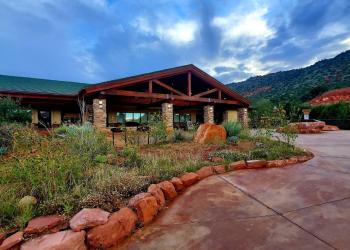
Address: 8375 State Route 179, Sedona, AZ 86351
Phone: 928-203-2900
Hours: Wednesday 12 p.m.-4:30 p.m. All other days, open 9 a.m.-4:30 p.m.
Office Email: SM.FS.Cof_Webmail@usda.gov
Getting There
Directions
Location: 22 miles south of Flagstaff (5.5 miles north of Sedona) on paved roads in scenic Oak Creek Canyon.
Access: Drive 22 miles south out of Flagstaff or 5.5 miles north from Sedona. The trailhead is a bit hard to see but it's on the west side of the highway, near mile marker 380. It's about a hundred yards north of the entrance to Manzanita Campground and a short distance south of Slide Rock Lodge. Parking is available some distance away, south of Manzanita Campground, on the east side of the highway.
GPS (Map): 34°56'11.8"N 111°44'49.7"W