
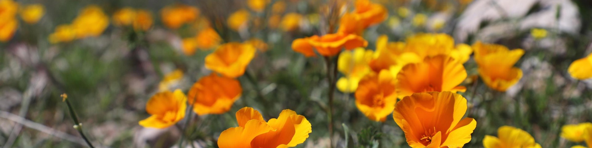
Recreation

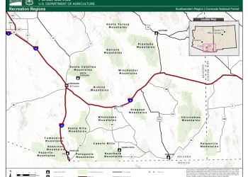
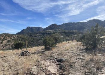
Recreation Regions
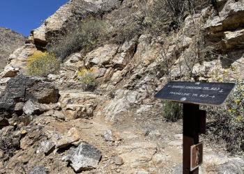
Click on the map image to see the different Recreation Regions for the Coronado National Forest. The regions are divided by mountain ranges, which will allow visitors to explore all the recreation opportunities within those ranges.
The Atascosa Mountains are a mountain range in western Santa Cruz County, Arizona. It is sandwiched between the larger Tumacacori Mountains&nb

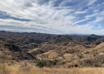
Historic ranching and mining country with broad grasslands and distant buttes provides the setting for this medium-length loop drive.

The Chiricahua Mountains are the largest of Arizona’s Sky Island mountain ranges and the second highest.
The Galiuro Mountains are a large mountain range in the Madrean Sky Islands region of southeast Arizona. The range is noted for its height and ruggedness.
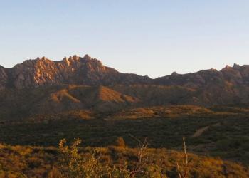
The Huachuca Mountains are the third highest of the sky island mountain ranges in southeastern Arizona and they rise almost 4,500 feet above the desert floor.

The Pajarito Mountains is a small mountain range of western Santa Cruz County, Arizona, United States, which extends south into Sonora, Mexico.

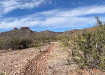
The Patagonia Mountains are a small range only about 15 miles long, but they lie close to the Canelo Hills to the northeast creating a large area of highlands connected to

The Peloncillo Mountains stretch approximately 70 miles from the U.S.-Mexico border north to the Gila River.
The Pinaleño Mountains, capped by 10,720 ft. Mount Graham is the tallest of southeastern Arizona’s sky island mountain ranges.
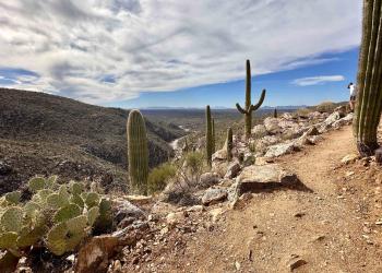
The 38,590-acre Rincon Mountain Wilderness borders Saguaro National Park on three sides and remains pleasantly remote despi

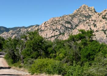
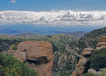
Welcome to the Santa Catalina Mountains, one of the premier natural areas in southeastern Arizona. The elevation ranges from 2,724 ft. in Sabino Canyon to 9,157 ft.

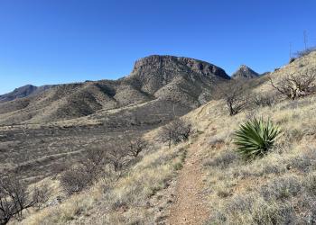
The Santa Rita Mountains are the fourth highest of the sky island mountain ranges in southeastern Arizona and they rise nearly 6,000 feet above the desert floor.
More than anything else, the 26,780-acre Santa Teresa Wilderness can be described as remote.
The Tumacacori Highlands comprise three small closely spaced mountain ranges on the United States and Mexico border just west of Nogales.
The Whetstone Mountains are a dry and rugged fault-block mountain range only about 15 miles long.

The Winchester Mountains are a small range about 15 miles long that forms a southern extension of the much larger Galiuro Mountains to the northwest.

These steep, rugged trails in the front range of the Santa Catalina Mountains offer quick access from town to trail and lead into the Pusch Ridge Wilderness.

This complex captures trails, campgrounds, and recreation sites within the Molino Basin and Gordon Hirabayshi area.
SUMMERHAVEN and the SUMMIT AREA Less than one hour from downtown Tucson, perennial water, picnic areas, and a network of wooded trails offer recreation opportunities for al
The Sabino Canyon Recreation Area is comprised of multiple trails and recreational opportunities.