





Abbott Butte Trailhead
Nestled in Huckleberry Gap, Abbott Butte Trailhead provides access to high elevation trails that traverse the ridge top of the Rogue-Umpqua Divide.
Provides access to: Abbott Butte Trail #1470A and southern access to Rogue-Umpqua Divide Trail #1470 which access Rogue-Umpqua Divide Wilderness.
General Information
Expect snow to impact travel to this trailhead from mid-to-late Fall through early to mid-spring.
No fees are required for this site.
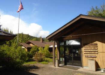
Address: 27812 Tiller Trail Highway Tiller, OR 97484
Phone: 541-825-3100
Hours: Thursday and Friday, 8:00 a.m. - 4:30 p.m. (Closed on federal holidays)
Getting There
Elevation
5,360'
Directions
From Canyonville, OR, turn off of southeast Main Street onto southeast 3rd Street / OR-227. Continue on OR-227 for approximately 23 miles until reaching the town of Tiller, OR. Turn left onto County Road 46 (South Umpqua Road) and continue for 5 miles. Turn right onto to Forest Road 29 (Jackson Creek Road). Follow Forest Road 29 for approximately 12 miles to Forest Road 68. Turn right onto Forest Road 68 and follow for approximately 13 miles to the Abbott Butte Trailhead, located on the left side of the road.
Facility and Amenity Information
Restrooms
Restroom information is not available for this site.
Water
Potable water is not available at this site.
Not available. Surface water should be treated.


