





Acker Rock Trail
This trail leads to Acker Rock Lookout, an active fire detection lookout. The lookout may also be in the recreation rental program at times. Please respect renters, Forest Service personnel, or contractors when you visit the site. Hiking to the lookout offers visitors spectacular panoramic views of the South Umpqua watershed in southwest Oregon. The panorama includes landmarks on the Rogue-Umpqua Divide on a clear day you can see mountains on the Willamette, Rogue, and Deschutes River Watersheds. The rock formation on which the lookout building sits is itself a magnificent feature. Sheer cliffs drop off for several hundred feet on the west and south sides.
Trail elevation ranges from about 4,100' at the highest point to 3,700' at the lowest. From late fall through mid-spring the trail may have snow cover.
Specific Trail Information
Trail Number
General Information
Not available. Surface water should be treated.
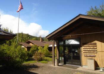
Address: 27812 Tiller Trail Highway Tiller, OR 97484
Phone: 541-825-3100
Hours: Thursday and Friday, 8:00 a.m. - 4:30 p.m. (Closed on federal holidays)
Getting There
Directions
From Canyonville, OR, take west 1st Street and turn onto southeast 3rd Street / OR-227. Continue to follow OR-227 approximately 23 miles until you reach Tiller, OR.
From the Tiller, OR, take County Road 46, (On the left) which becomes South Umpqua Road, about 19 miles to Forest Road 29 (Buckeye Creek Road). Follow Forest Road 29 about 7 miles to Forest Road 2838. Turn left (north) onto Forest Road 2838 for 1.5 miles to Forest Road 2838-950. Follow Forest Road 2838-950 to a locked gate, approximately 28 miles from Tiller. The trailhead is another mile beyond the gate.

