
Dolly Varden Campground
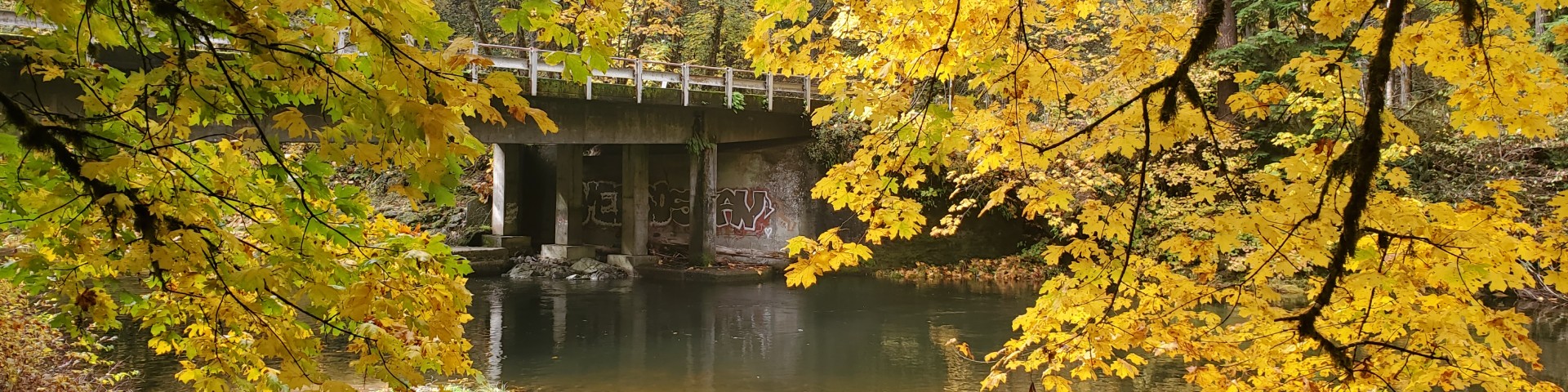
This first camp along the Fall Creek drainage on Forest Service Road 18 provides convenient access to the beginning of the 13.7-mile Fall Creek National Recreation Trail. The campground offers 5 tent-only sites. Three sites are along the creek on the north side of Forest Road 18, and two walk-in only sites are across the road.
Reservations
General Information
May-September
Check in: 2:00 p.m.; Check-out: 12:00 p.m.; Quiet hours are 10:00 p.m. until 6:00 a.m.
Interagency Senior and Access Passes (and the Golden Age and Access Passes) may receive a 50% discount on the use fee for individual campsites. This discount does not apply to extra vehicle fee or multiple campsites.
- Quiet hours: 10 pm to 6 am
- NO trailers
- Single campsite capacity: 6 persons, 2 vehicles, 2 tents
- Camping is not allowed more than 14 days in a 60 day period.
- Check-in time: 2:00 pm or later. Check-out time: 1:00 pm
- Use of chainsaws in the campground is prohibited
- Dogs MUST be on leash at all times within the campground
Overnight Use:
Single Site: $24/night.
Interagency Senior/Access Recreation Passes provide a 50% discount to Single Campsites ONLY.
*The discount applies only to the fee for the campsite physically occupied by the pass holder, not to any additional fee or campsite(s) occupied by members of the pass holder's party.*
https://store.usgs.gov/recreational-passes
Please be prepared to pay with CASH or CHECK.
*Sites may be reservable and reservation fees apply.*
- Single Campsites - $19 per night
- Extra Vehicles - $10 per vehicle, per night
- Day Use - $10 per vehicle, per day
Campsite must be occupied every night paid, and fees must be paid within 30 minutes of arrival.
Within developed recreation sites, dogs must be on a leash no longer than 6 feet, or otherwise under physical restrictive control. 36 CFR 261.16(j)
Address: 46375 Highway 58 West Fir, OR 97492
Phone: (541) 782-2283
Hours: Monday-Friday, 8:00 a.m. - 4:30 p.m. (Closed on federal holidays)
Office Email: sm.fs.mfrd@usda.gov
Getting There
Latitude / Longitude
Latitude: 43.96388889
Longitude: -122.6155556
Directions
12 miles northeast of Lowell, Oregon.
From Lowell, Oregon: Beginning at the Lowell Junior/Senior High School at 65 South Pioneer Street, head north for 0.1 mile. Turn left at the 2nd cross street onto North Shore Drive. Drive for another 0.1 mile and turn right at the first cross street, which is South Moss Street. In approximately 0.8 miles, South Moss Street becomes the Jasper-Lowell Road. Continue for another 1.0 mile until the four-way stop. Turn right onto Big Fall Creek Road. Approaching the base of the Fall Creek Lake dam, bear to the left after passing Winberry Creek Road (on your right). Note that Big Fall Creek Road becomes Forest Road 18 after crossing the National Forest boundary. Travel for 10.2 miles from the four-way stop and the destination will be on your left.
Facility and Amenity Information
Accessibility
Restrooms
Restrooms are available at this site.
Water
Potable water is not available at this site.
Picnic Tables
Picnic tables are available at this site.
Horse/Pack Animal Information
Horse/Pack animals are not allowed at this site.