
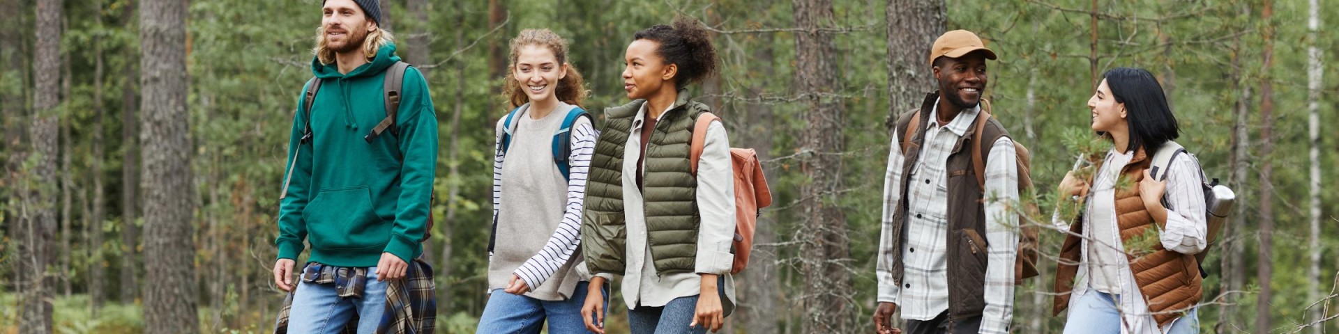
Hiking
With over 200 miles of hiking trails, 53 miles of X-C ski trails and 18 miles of Interpretive trails the Allegheny National Forest offers a variety of hiking experiences.
Not sure what type of hike is which? A day hike is an outdoor recreation on a trail which is short enough to be completed in a single day, while backpacking is the outdoor recreation of carrying gear on one's back, while hiking for more than a day.
Safety Tips
Please follow these safety tips to ensure a safe journey:
- Before You Go:
- Leave your itinerary with a friend or family member and check in with them upon your return.
- Develop an emergency plan before you start your trip. Make sure everyone knows what to do if they become lost or a medical emergency arises.
- Give children whistles with the instructions to "stop and blow" if they become lost.
- Wear appropriate clothing, including sturdy boots that are broken in and are comfortable.
- Consider using a hiking pole or walking stick to help maintain your balance in unlevel or hazardous area
What to Bring:
If on a day hike, extra weight wears you down and reduces your agility over uneven terrain. Pack as light as possible. Leave the extras behind, but consider bringing these essentials:
- Map
- Sunglasses and a hat
- Sunscreen
- Flashlight
- Waterproof matches
- First aid kit
- Water and water-purifying tablets
- High-energy bars, granola, candy, or fruit
- Extra clothing. Temperatures can change dramatically, particularly if there is an elevation change. For every 1,000 feet of elevation gain, the temperature often drops three to five degrees.
Backpacking requires more gear. For suggestions on what to bring visit the National Park Service Hike Smart webpage.
- During Your Hike:
- Stay on marked trails.
- Don’t hike alone. Let the slowest person in your party set the pace. This is especially important when children are a part of your group.
- Take frequent rests or vary your pace to maintain your energy level.
- Drink plenty of water, even on cool, wet days. Never drink your entire supply between refills.
- Be aware of your surroundings, and pre-plan your approach before hiking through more hazardous areas. Wet surfaces can be a hazard and even more so if it's on a slope.
Slips, Trips and Falls:
Consider what you'll do if you start to slide or fall so that you are prepared. Remember, cell service on the forest is limited and help is usually far away.
- If falling, do not try to catch yourself; try to avoid landing on your hands, elbows or knees. Landing on the side of your body is much safer.
- If the slope is such where you know you are going to slide, lowering your center of gravity, by sitting down and sliding on your feet or bottom, is safer.
- If sliding while standing up, keep your weight over your feet and bend your knees—do not lean back or forward while sliding.
Backpacking
Most trails on the Allegheny are under 10 miles, so there are only a few backpacking opportunities available. The trails below offer the best opportunities for longer backpacking excursions on the forest.
Backpacking Trails on the ANF:
- Brush Hollow Cross-Country Ski and Hiking Trail
- Miles: 7.7
- Other Trail Uses: Cross-country skiing, mountain biking, snowshoeing
- Hearts Content Trails
- Miles: 7.8
- Other Trail Uses: Cross country skiing, snowshoeing
- Hickory Creek Wilderness Trails
- Miles: 12
- Other Trail Uses: n/a
- Jakes Rocks Mountain Bike Trail
- Miles: 29.93
- Other Trail Uses: Mountain biking
- Minister Creek Trail
- Miles: 10
- Other Trail Uses: n/a
- Morrison Hiking Trail
- Miles: 12.1
- Other Trail Uses: n/a
- North Country National Scenic Trail
- Miles: 96.3
- Other Trail Uses: Cross-country skiing, snowshoeing
- Tracy Ridge
- Miles: 33.69
- Other Trail Uses: Cross-country skiing
- Twin Lakes Hiking Trail
- Miles: 16.5
- Other Trail Uses: Cross country skiing, mountain biking
Day Hikes
Looking for a quick outing to get the kids out of the house? Spend an afternoon up at the Hearts Content Interpretive Trail, Timberdoodle Flats or the Jakes Rocks Overlook walk. Looking for a short, but intense, hike? Check out Rimrock Hiking Trail.
Want to check out your skills with a compass? Visit the Hearts Content Orienteering Trail and see if you can find your way around!
Want a challenge, but not quite ready to backpack? The North Country National Scenic Trail has shorter sections that can be done as a quick hike. And several of the other longer trails have intersections that let you do shorter loops.
Day Hiking Trails on the ANF:
- Beaver Meadows Hiking Trail and Day Use Area
- Miles: 7.1
- Other Trail Uses: n/a
- Brush Hollow Cross-Country Ski and Hiking Trail
- Miles: 7.7
- Other Trail Uses: Cross-country skiing, mountain biking, snowshoeing
- Buzzard Swamp Wildlife Viewing and Hiking Area
- Miles: 11.2
- Other Trail Uses: Cross-country skiing, mountain biking, snowshoeing
- Hearts Content Trails
- Miles: 7.8
- Other Trail Uses: Cross-country skiing, snowshoeing
- Hearts Content Interpretive Trail
- Miles: 1.1
- Other Trail Uses: n/a
- Hearts Content Orienteering Trail
- Miles: 5.9
- Other Trail Uses: n/a
- Hickory Creek Wilderness Trails
- Miles: 12
- Other Trail Uses: n/a
- Jakes Rocks Overlook Walk
- Miles: 1
- Other Trail Uses: n/a
- Jakes Rocks Extreme Mountain Bike Trail
- Miles: 29.93
- Other Trail Uses: Mountain biking
- Laurel Mill Cross-Country Ski and Hiking Trail
- Miles: 10.7
- Other Trail Uses: Cross-country skiing
- Little Drummer Historical Pathway
- Miles: 3.1
- Other Trail Uses: Cross-country skiing
- Loleta Recreation Area
- Miles: 3
- Other Trail Uses: n/a
- Minister Creek Trail
- Miles: 10
- Other Trail Uses: n/a
- Morrison Hiking Trail
- Miles: 12.6
- Other Trail Uses: n/a
- North Country National Scenic Trail
- Miles: 96.3
- Other Trail Uses: Cross-country skiing, snowshoeing
- Rimrock Hiking Trail
- Miles: 1.3
- Other Trail Uses: Snowshoeing
- Timberdoodle Flats Interpretive Trail
- Miles: 1.75
- Other Trail Uses: n/a
- Tracy Ridge
- Miles: 33.69
- Other Trail Uses: Cross-country skiing
- Twin Lakes Hiking Trail
- Miles: 16.5
- Other Trail Uses: Cross-country skiing, mountain biking