
Recreation
For trail information, please visit the Visitor Maps and Guides webpage or contact the forest by visiting the Contact Us webpage.
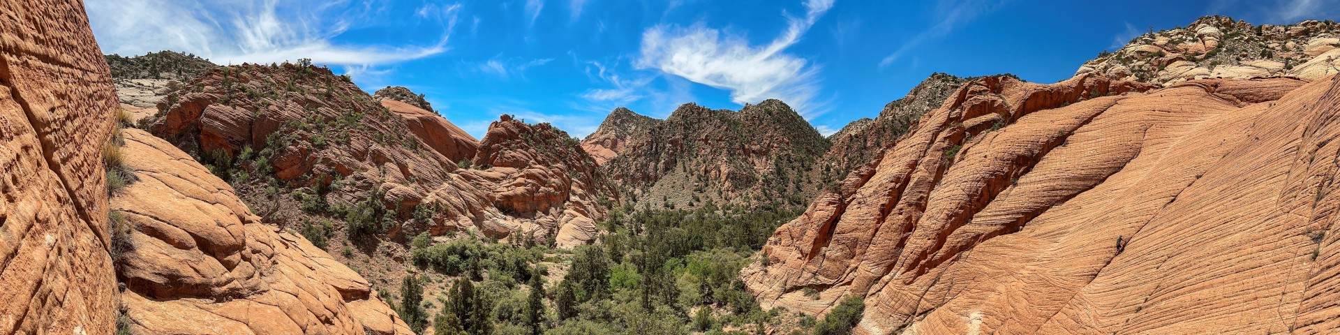
The Dixie National Forest offers a variety of recreation opportunities all year round. With almost 2 million acres to explore, there are endless opportunities for your enjoyment, and relaxation. You can experience the solitude of hiking in the Wilderness, enjoy camping in developed campgrounds, or in the backcountry. The forest is also a prime location for fishing, hunting, horseback riding, mountain biking, OHV opportunities, and winter activities such as cross-country and downhill skiing. There are hundreds of miles of forest roads that offer sightseeing opportunities and access to beautiful country.
Related Links:
Bryce Canyon National Park
Zion National Park
Cedar Breaks National Monument
Recreation.gov
Learn to live with bears