
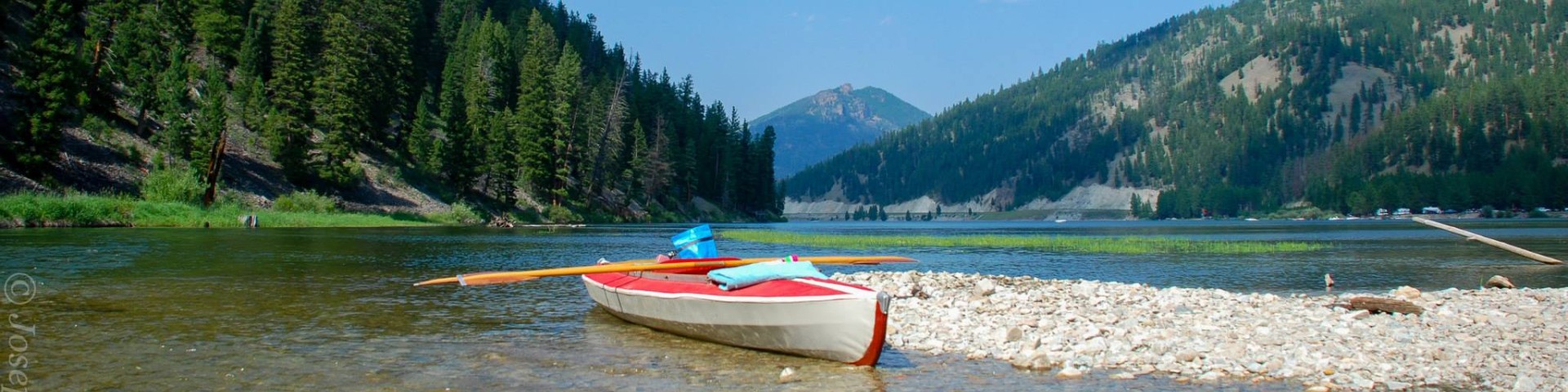
Recreation
Bitterroot National Forest Trail Clearing Status Map

Use this map tool to view and search what trails and when those trails were cleared of down trees on Bitterroot National Forest trails.


Recreation
Reimel Creek Trail # 175
The Reimel Creek trail is 4.4 miles long. It begins at Road #727 and ends at Trail #78. The trail is open for the following uses: Hiking, Horseback Riding.
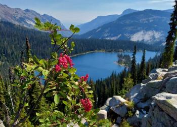
Ripple Lake Trail # 402
The Ripple Lake trail is 1.0 miles long. It begins at Trail 313 and ends at Ripple Lake. The trail is open for the following uses: Horseback Riding
Roaring Lion Trail # 124
The Roaring Lion Trail # 124 is 7.7 miles long. It begins at Road # 701 and ends at NESW Sec.7, T5N, R22W. The trail is open for the following uses: Hiking.
Roaring Lion Trailhead
Roaring Lion Trailhead has adequate parking for both cars and trailers. It offers access to Roaring Lion Creek Trail #124 and the Selway-Bitterroot Wilderness. There are no facilities.
Rock Creek Horse Camp
Site Open
Rock Creek Horse Camp, located within the Lake Como Recreation Area, features 11 tent and small trailer campsites (4 are pull-through), accessible vault toilets, gravel surfaced roads, and garbage…
Rock Creek Trail # 580
The Rock Creek trail is 11.6 miles long. It begins at Road 550b and ends at Idaho State Line. This is an easy trail for stock, mountain bikers and hikers. Trail #580 joins with Trail #502 at the west…
Rock Creek Trailhead
Rock Creek Trailhead is located on the south side of Lake Como. It offers access to the Rock Creek Trail #580 to Elk Lake or can be used to do the 7.1 mile loop around Lake Como. The parking area is…
Rombo Campground
Rombo Campground is located in a scenic area along the West Fork Bitterroot River in the mountains of southwestern Montana. The area is home to a variety of big game and wildlife, and provides access…
Running Creek Trail # 532
The Running Creek trail is 4.5 miles long. It begins at Trail 4 and ends at Nez Perce National Forest Boundary. The trail is open for the following uses: Horseback Riding, Hiking
Salamander Creek Trail # 27
The Salamander Creek trail is 8.2 miles long. It begins at Road #468 and ends at Trail #13. The trail is open for the following uses: Horseback Riding, Hiking