
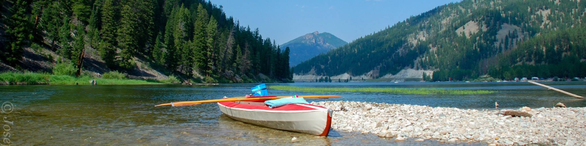
Recreation
Bitterroot National Forest Trail Clearing Status Map

Use this map tool to view and search what trails and when those trails were cleared of down trees on Bitterroot National Forest trails.


Recreation
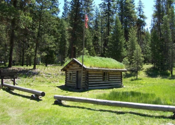
McCart Lookout
Site Closed
McCart Lookout is a historic L4 lookout located on McCart Peak east of Sula, MT. This lookout has been restored to reflect a lookout of the 1940's. This includes the stove, furniture, dishes, and…
McCart Trailhead
McCart trailhead has adequate parking for 6-8 vehicles. Facilities include a stock ramp and hitching rail. It accesses the McCart lookout and the Anaconda-Pintler Wilderness.
Medicine Point Lookout
Medicine Point Lookout is a historic L4 lookout located on Medicine Point, west of Sula, MT. This lookout has been restored to reflect a lookout of the 1940's. It is poised between the east and west…
Mill Creek Trailhead
Mill Creek Trailhead has adequate parking for both cars and trailers. It offers access to Mill Creek Trail #364 and the Selway-Bitterroot Wilderness. Facilities include a vault toilet, hitching rails…
Moose Creek Trailhead
There is adequate parking at this trailhead - trailers included. There are no stock or amenities provided. An embankment may be used to unload stock. Stock water is available along 2.5 miles of the…
Mt. George-Paloma Trail # 50
The Mt. George-Paloma trail is 12.0 miles long. It begins at Trail 24 and ends at Mt. Paloma. The trail is open for the following uses: Hiking, Backpacking, Horseback Riding
Nature Trail # 391
The Nature Trail is 0.5 miles long. It begins at Road #1316 and ends at Trail 391 (Loop).This accessible trail is open for the following uses: Hiking
Nee Me Poo Trailhead
There is adequate parking at this trailhead for 8 vehicles. There is ample turnaround space.
Nelson Lake Trail # 135
The Nelson Lake trail is 3.0 miles long. It begins at Road #5633 and ends at Nelson Lake. The trail is open for the following uses: Hiking, Horseback Riding
Nez Perce NHT (Nee-Me-Poo) Trail # 406
The Nez Perce National Historic Trail (Nee-Me-Poo) trail is 3.1 miles long. It begins at Road 10001 and ends at Beaverhead -Deerlodge National Forest Road 1260 (Junction of CDT #9).This trail follows…