
Recreation
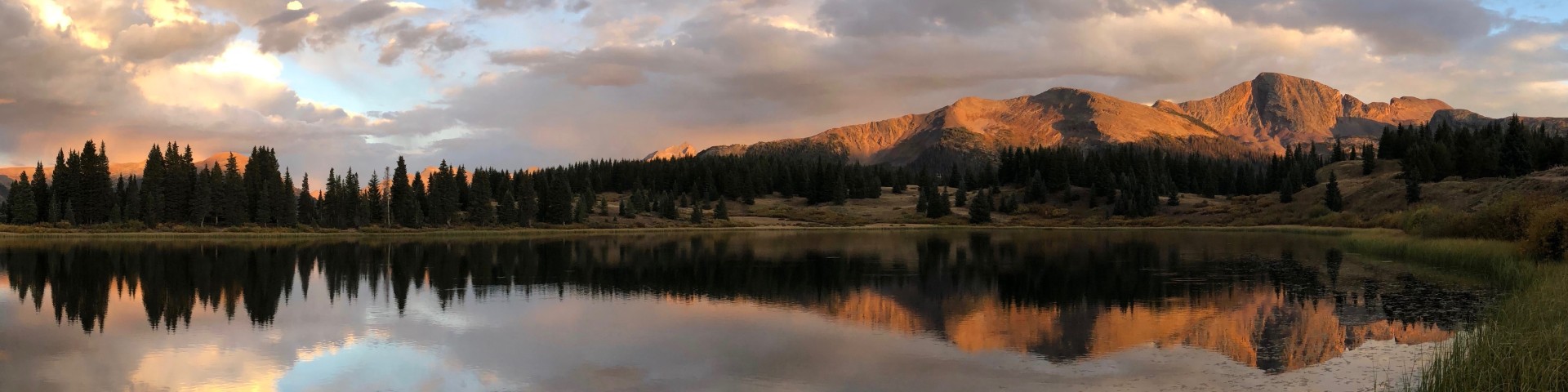
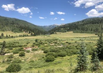
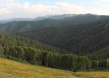
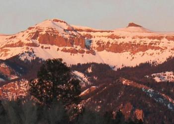
Come and enjoy the natural splendor of the San Juan Mountains and your public lands! The stunning scenery ranges from high desert mesas and canyons to high alpine peaks and meadows. Recreational opportunities abound from fishing to biking, hunting to hiking, OHV riding to simply going to for drive along one of our scenic forest roads.
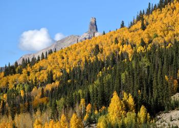
In addition, did you know that the San Juan National Forest includes four Wilderness Areas and a National Monument? Explore Chimney Rock National Monument, a culturally-rich area where you can take a step back in time and imagine the landscape as it was a thousand years ago with cultivated fields and settlements extending from the valley floors to the mesa tops.
Looking for outfitters or guides to take you on your San Juan adventure? Visit our Tours page.
Visitors to the San Juan Forest can enjoy a variety of outdoor activities including hiking, mountain biking, hunting, fishing, OHV riding, alpine and nordic skiing, horseback riding, and camping.
Looking for an outfitter or guide to take you on your San Juan adventure? Visit our Tours page.

The Columbine Ranger District manages 691,310 acres of the San Juan National Forest in La Plata and San Juan counties, Colorado.

The Dolores Ranger District manages 597,373 acres of the San Juan National Forest in Dolores, Montezuma and San Miguel counties, Colorado.
The Hermosa Creek SMA is located within Hermosa Creek watershed between Highway 550 and the Hermosa Creek Wilderness.
The Hermosa Creek Watershed Protection legislation, passed by Congress and signed by President Barack Obama in December, 2014, created the Hermosa Creek Special M
The 41,496 acre Lizard Head Wilderness lies astride the San Juan Mountains, (10 miles southwest of Telluride and 40 miles northeast of Cortez) within Uncompahgre and San Ju

The Pagosa Ranger District manages 585,770 acres of the San Juan National Forest in Archuleta, Mineral, Hinsdale, Conejos and Rio Grande counties, Colorado.

In the Colorado Wilderness Act of 1993, the Piedra Area was designated by Congress as an area to be managed to maintain its existing wilderness character and potential for
The South San Juan Wilderness encompasses the southeastern extent of the San Juan Mountain Range, including a segment of the Continental Divide.

The Glade landscape covers approximately 165,00 acres in the northwest portion of the Dolores Ranger District.

At three quarters the size of Rhode Island, the Weminuche Wilderness is the largest Wilderness area in Colorado at 499,771 acres.