Recreation

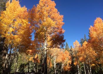
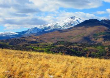
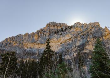
The Humboldt-Toiyabe National Forest offers a setting of classic Western beauty and is known for its many recreational opportunities, scenic vistas, and wild places where visitors can still find solitude. The Forest does not resemble most other National Forests in that it has numerous fairly large but non-contiguous sections scattered across most of the state of Nevada and a portion of eastern California.

Showing: 61 - 70 of 500 results

Carson River Takeout

Water Activities
The Carson River Takeout is located on the East Fork Carson River near Gardnerville, Nevada. The primary use of the site is for non-motorized water users (e.g., kayaks and rafters) to end their river…

Cascade Creek Trail

Hiking Horse Riding and Camping
The Cascade Creek Trail is a 1.38 mile long connector trail that connects the Pacific Crest Trail (22999) and the West Walker River Trail (22046) within the Hoover Wilderness near Bridgeport,…

Catch Pen/Deer Creek Trail

Biking Horse Riding and Camping Hiking
The Catch Pen/Deer Creek Trail is a 10.83 mile long non-motorized loop trail located on the south side of Lee Canyon Road near Las Vegas, Nevada. The trail can be accessed via the Blue Tree Loop…

Cathedral Rock - South Loop Trailhead

Biking Hiking
The Cathedral Rock-South Loop Trailhead is located adjacent to the Cathedral Rock Picnic Area in Kyle Canyon outside Las Vegas, Nevada. This is a popular trailhead as it provides access to the scenic…

Cathedral Rock Picnic Area

Hiking Biking Picnicking
Cathedral Rock Picnic Area is located at the top of beautiful Kyle Canyon in the Spring Mountains National Recreation Area, just 30 miles from Las Vegas. The picnic area is set among a forest of…

Cathedral Rock Trail

Hiking Outdoor Science and Learning
The 1.4 mile Cathedral Rock Trail is a highly popular out and back hiking route located in the Kyle Canyon area of the Spring Mountains National Recreation Area outside of Las Vegas, Nevada. The…

Cattle Creek Route Trail

Hiking Horse Riding and Camping
The Cattle Creek Route Trail is a 1.71 mile long spur trail off the Horse-Cattle Creek Trail (22076) in the Twin Lakes area near Bridgeport, California. This trail provides access to and is entirely…

Cattle Creek Trailhead

Site Open
Hiking Horse Riding and Camping Hunting, Fishing and Shooting
The Cattle Creek Trailhead is located between Upper and Lower Twin Lakes near Bridgeport, California. This lightly used trailhead provides access into the Hoover Wilderness. Alpine lakes, towering…

Cave Lake Loop Trail

Hiking Biking Horse Riding and Camping Hunting, Fishing and Shooting Outdoor Science and Learning
The Cave Lake Loop is a 3.92 mile long non-motorized loop trail that starts and end near Cave Lake within Cave Lake State Park near Ely, Nevada. This trail is located on both National Forest System…

Cave Mountain Trailhead

Hiking Horse Riding and Camping
Entry/access point to the High Schells Wilderness outside of Ely, Nevada. Trailhead is undeveloped.