
Wenatchee River Ranger District
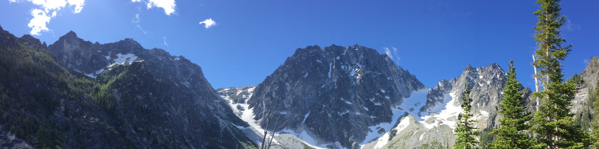
The Wenatchee River Ranger District encompasses approximately 696,000 acres and extends from near the Columbia River to the crest of the Cascades.
It is bordered by the Entiat Ranger District to the north along the Entiat Mountains divide and by the Cle Elum Ranger District to the south along the Wenatchee Mountains - Mt. Stuart divide. To the west of the district is the Mt. Baker-Snoqualmie National Forest.
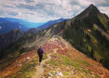
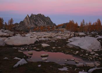
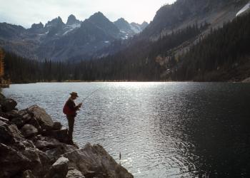
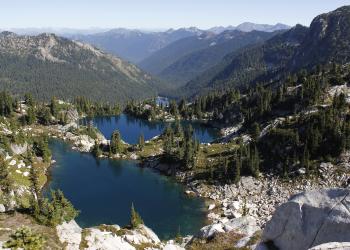
In recent years, the Wenatchee River Ranger District has become most known for an area in the Alpine Lakes Wilderness known as the Enchantments. Because this area is so highly visited, permits are required for overnight recreationalists. The permitting process is a lottery system and one of the most competitive in the nation.
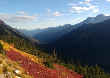
Wanting to escape those crowds? The Wenatchee River Ranger District has hundreds of other places to explore. From world-class climbing and white water up the Icicle Gorge and Tumwater Canyon, to hiking, biking and camping up the Little Wenatchee River, the White River, or Chiwawa River.
This region is truly wonderful to explore all year round, and winter is no exception. Cross-country skiers will delight in multiple choices around Plain, Leavenworth, and Lake Wenatchee.
Active Alerts


General Information
600 Sherbourne
Leavenworth, WA 98826
(509) 548-2550 or (509) 548-2551
Passes & Permits
The Enchantments, in the Alpine Lake Wilderness, require overnight permits.
Attention Climbers: Raptor nesting behavior has been observed on both Midnight and Noontime Rocks and is closed to entry April 1 through July 31. To protect these birds during the nesting period, these rocks and the area immediately above and between them is closed to all entry. Once nesting is confirmed, restrictions will be lifted on the rock not being used. If you know where the raptors are nesting, please contact the Wenatchee River Ranger District office.