
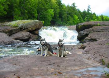
Waterfalls
The combination of topography and thousands of miles of rivers and streams has created hundreds of waterfalls throughout the Upper Peninsula, several of these waterfalls are located on the Ottawa National Forest. Interested in fun facts? The Ottawa has 53,637 acres of lakes, 2,366 miles of perennial streams, 2,890 miles of intermittent (occasional) streams, and 210,761 acres of wetlands.
The Upper Peninsula is known for its heavy snowfall, and the ensuing spring melt that feed the rivers and waterways. Cooler summers with lots of rain mean rivers, lakes and wetlands don't dry up in the summers (as much!). Because of its geographic location, water from the Ottawa's rivers and streams feeds Lake Superior, Lakes Michigan and Huron, and tributaries that flow into the Mississippi River.
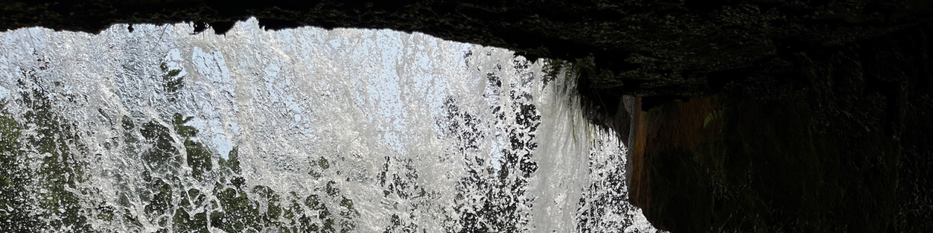
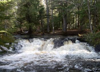
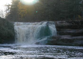
The falls vary in size, and some are easier to get to than others.
Below is a list of most visited waterfalls on and around the Ottawa National Forest.
Print out our Waterfall Guide (pdf) to take with you on your trip.

These scenic waterfalls are nestled under a railroad trestle, adding historical interest to the already picturesque falls.

It is not particularly difficult terrain, but you should have a good map and compass.

Located just 11 1/2 miles northwest of Bessemer, Mi. these waterfalls can be accessed by a 3/4 mile hiking trail from a paved parking lot. The hiking trail d

Located just 12 1/2 miles northwest of Bessemer Mi. there are well marked brief hiking trails that will take you from a double looped paved parking lot to a serie

A 1/2 mile hiking trail will take you from a paved parking lot to a stairway dropping down to an observation platform overlooking the scenic Black River and Rainbow Falls.&
Located 13 miles northwest of Bessemer, Mi. the 1/4 mile trail to Sandstone Falls is short but steep, with a series of steps. Pace yourself and avoid over e

Bond Falls Waterfalls are managed by U.P Power Company at the top of the falls and the Michigan Department of Natural Resources at the bottom. This site is one of the
There are two trails that lead to and from the falls. The main trail is the easiest at 1 mile long with only mild changes in elevation.
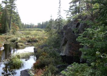
This is the site of an old state quarry, and the trail to the river has been created by people going trout fishing.
This trail passes through some old growth hemlock, and is quite level. It is a scenic trail, and the water of the Jumbo River is crystal clear.
Kakabika Falls, located approximately 12 miles northeast of Marenisco Mi., on the Bessemer Ranger District.

Meximinee Falls is a beautiful waterfalls that has easy access. This Waterfalls was the location for the print "Spirit of the Ottawa". The trail is a short, fai
Aspen and mixed hardwoods grace the gently rolling terrain along the forest trail that leads to O Kun de Kun. Keep your eyes open for frogs, squirrels, and dragon fli

This beautiful area where you might experience the song of a Hermit Thrush or see shade tolerant wildflowers on the forest floor.
Located in the northeast part of the McCormick Wilderness, these falls are located on the Yellow Dog River, one of only a handful Eastern rivers to be named "wild".

Yondota Falls, located just 3 1/2 miles north of Marenisco Mi., on the Bessemer Ranger District, is a series of falls, so be sure you walk far enough to see them all.