Huckleberry Flats OHV Trail

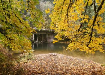
Wooden trail bridge for OHV riders on Huckleberry OHV Trail


This motorized-only trail system consists of 65 miles of Class I and III trails and some Class IV trails of various degrees of difficulty. Set in a second-growth stand of Douglas fir with a dense understory of rhododendron and vine maple, you'll find trails ranging from old roads and skid roads to tight woods trails.

The well-marked trail loops originate and end at a single staging area with graveled parking, a vault toilet, an information kiosk, a mile-long warm-up trail and a small open area for beginning riders. The large number of one-way trails are conducive to family riding. There is a limited amount of Class III-only trail. The trail is open year-round but there is often snow on the ground during the winter months. The trail may be closed during periods of very high fire danger.

Huckleberry Flats OHV Trail Map

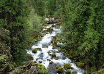
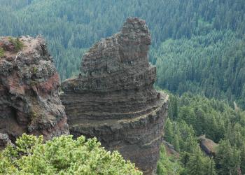
photo of wooden bridge along Huckleberry OHV Trail showing wooded surroundings Photo of Huckleberry Flats OHV trail showing dirt trail in forested setting Photo of railed puncheon along Huckleberry Flats OHV Trail made of wood showing forested setting

At a Glance

Permit Info: State of Oregon OHV permits required
Restrictions:
  • All equipment must comply with the State's 99 db sound limit. Spark arresters are required year-round.
  • This trail system is open to Class I, III and IV vehicles.
  • It is closed to Class II motorized vehicles, bicycle, horse and hiker use.
  • Although throughout the designated trail area there are a number of two-way shared-use native surface and gravel roads, this is a one way system.
  • In addition to the general rules for riding that apply across the Forest, riders on Huckleberry Flats OHV trail should:
    • Ride on designated trails and roads only
    • Obey directional and regulatory signs
    • Refrain from riding on dirt trails in very wet conditions
Closest Towns: Oakridge, OR
Westfir, OR
Information Center: Middle Fork Ranger District
46375 Highway 58
Westfir, OR 97492
541-782-2283

General Information

Directions:

Access from Huckleberry Flats OHV Trailhead & Staging Area (area is unavailable)

From Springfield, Oregon, exit Highway 58 at the Westfir turnoff. Turn left after the green bridge.Continue straight ahead on Forest Road 19 (Aufderheide Drive) for 14 miles to Forest Road 1928.Turn right onto Forest Road 1928.  Parking is 4 miles after the turn

-- OR --

From Oakridge, Oregon,  turn onto Crestview St. at the stop light. Turn right onto W. First St, left onto Oak St,Continue up the hill, bearing right onto High Prairie Road for 6.5 miles to the end of the pavement. Follow Forest Road 1928 for 4 miles to the parking area. 

map showing access to Huckleberry OHV Trail


Recreation Map

Map showing recreational areas. Map Information

Activities

OHV Trail Riding

Picnicking

Recreation Areas

Recreation Activities

Highlights

Location

 
  Latitude : 
43.8427270933715

  Longitude : 
-122.3751407042498