
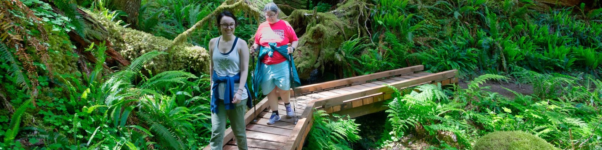
Recreation
The Willamette National Forest offers a wide variety of recreation opportunities. Its central location makes it accessible to day-trippers and vacationers alike. The forest has developed campgrounds, trails of all sorts, secluded spots along rivers and at vista points, and roads that wind through beautiful forests. Come experience the Willamette.

The Detroit Ranger District is located in the northern part of the Willamette National Forest, bordering Mt.

The McKenzie River Ranger District is in the middle part of the Willamette National Forest, bordering the Deschutes National Forest.
The Middle Fork Ranger District is the southern part of the forest, bordering the Deschutes and Umpqua National Forests.
The Sweet Home Ranger District is in the middle part of the Willamette National Forest.
The Pacific Crest Trail generally follows the crest of the Cascade Mountains which marks the eastern boundary of the Willamette National Forest and the western boundary of