Recreation
Great American Outdoors Act
The Great American Outdoors Act (GAOA) gave the USDA Forest Service new opportunities to deliver benefits to the American public through major investments in recreation infrastructure, public lands access, and land and water conservation. These investments improve outdoor recreation and contribute to economic growth and job creation in rural America. GAOA provides permanent, full funding for the Land and Water Conservation Fund (LWCF) that will advance the Administration’s 30 x 30 conservation goals and establishes a new National Parks and Public Land Legacy Restoration Fund (LRF) to address the deferred maintenance backlog for the Department of Agriculture and Department of the Interior in fiscal years 2021-2025.
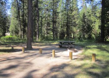
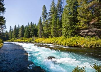
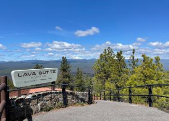
Locally, the Deschutes National Forest is conducting a number of projects due in part to funding from the Great American Outdoors Act. Check out how these funds are helping improve access, sustainability and safety to treasured places across Central Oregon!