
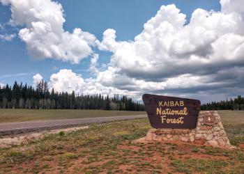
Recreation
PORTIONS OF THE NORTH KAIBAB RANGER DISTRICT ARE TEMPORARILIY CLOSED DUE TO THE DRAGON BRAVO FIRE -
- CLICK HERE FOR THE CLOSURE ORDER AND ASSOCIATED MAP
- LEARN ABOUT TRAVELING AND RECREATING IN A BURNED AREA
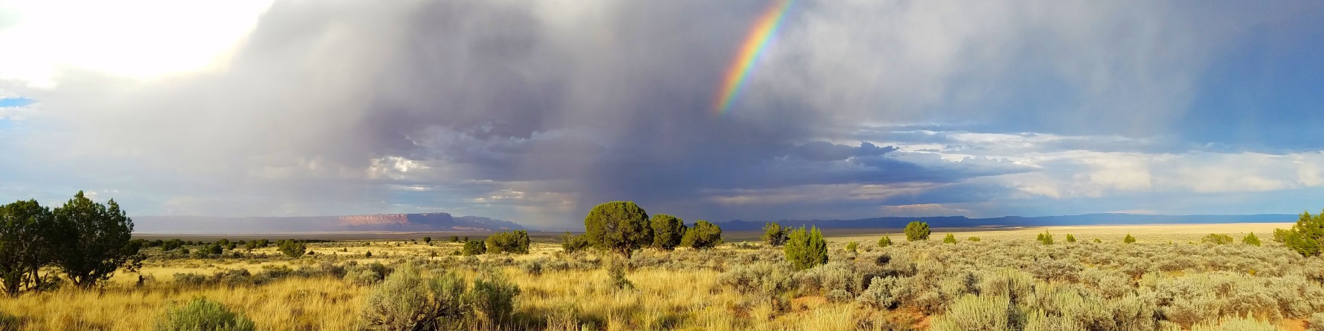
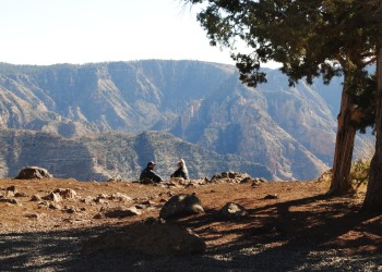
From canyons to prairies, peaks to plateaus, the Kaibab National Forest, which is nestled on the Colorado Plateau, offers layers of opportunity for discovery. The Mogollon Rim forms the southern boundary while extending to the north almost to the Utah border. Meanwhile, the majestic Grand Canyon National Park bisects the center of the forest.
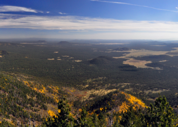
Elevations range from about 3,000 feet to 10,418 feet at the top of Kendrick Mountain. Beginning in low elevation grasslands and sagebrush, the forest steps up through forests of pinyon-juniper and ponderosa pine to fir, spruce and aspen. Summer temperatures range from 50° F at night to 80-90° F during the day. Summer thunderstorms, known as the monsoon, can build up quickly, especially during July and August. Snow is common from December through March.
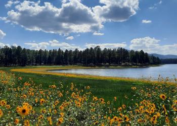
In all, the entire Kaibab National Forest is approximately 1.6 million acres. This includes four designated wilderness areas totaling about 114,845 acres that are managed for challenge and solitude. The Kaibab Plateau-North Rim Scenic Byway winds through meadows and forest ending at Grand Canyon National Park's North Rim. Opportunities for recreation including developed facilities such as campgrounds, picnic areas and viewpoints are plentiful.
National Forest Interactive Map
The Forest Service Interactive Map is a helpful tool for planning your visit with filters for different activities.
PORTIONS OF THE NORTH KAIBAB RANGER DISTRICT ARE TEMPORARILIY CLOSED DUE TO THE DRAGON BRAVO FIRE

The Tusayan Ranger District is on the northern portion of the Coconino Plateau. It is bordered on the north by Grand Canyon National Park, on the east by the Navajo In
The Williams Ranger District is on the Coconino Plateau and encircles the City of Williams, Arizona.
Two designated Wilderness Areas, Kendrick Mountain and Sycamore Canyon, and the 800-mile long Arizona National Scenic Trail are shared between the Kaibab and other National Forests in Arizona. Explore these opportunities to enjoy more of your public lands!

The Arizona Trail stretches 800 miles across the entire length of the state connecting deserts, mountains, forests, canyons, wilderness, history, communities and people.
Shared with the Coconino National Forest, the Kendrick Mountain Wilderness encompasses Kendrick Peak, one of the many pea
Established in 1935, this area contains a unique canyon-land environment.