


Lakes Trail
This trail is within the Rogue-Umpqua Divide Wilderness and provides access to both Cliff and Buckeye Lakes. These sub-alpine lakes—along with Fish Lake—were formed approximately 6,000 years ago when the northwest face of Grasshopper Mountain collapsed, damming the flow of Fish Lake Creek and revealing dramatic, sheer cliffs where there was once forested mountainside. These cliffs are now visible from both of the lakes.
Lakes Trail #1578 starts at the Skimmerhorn Trailhead. From the trailheads, Lakes Trail pushes east to enter the Rogue-Umpqua Divide Wilderness, passing junctions with Indian Trail #1573 (which heads north to Fish Lake) and Acker Divide Trail #1437 (which heads south towards Acker Divide). Trail elevation ranges from 4,200' at the highest point to 2,100' at the lowest. This area is occupied by a young forest of fir, madrone, and rhododendron, a result of the wildfire that swept through in 2002. In the spring and summer, look for wildflowers and gooseberries growing in the underbrush as you pass below stands of burnt snags.
Past these junctions, Lakes Trail continues into a dense forest, first reaching Buckeye and then Cliff Lake. From Cliff Lake the trail heads north to a junction with Grasshopper Trail #1574 and then continues northeast to tie in with Fish Lake Trail #1570, 0.5 mile above Fish Lake.
Specific Trail Information
Trail Number
Trail Type
General Information
From mid-to-late Fall and early to mid-spring expect that the higher elevation portions of this trail will have snow cover.
Not available. Surface water should be treated.
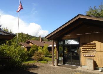
Address: 27812 Tiller Trail Highway Tiller, OR 97484
Phone: 541-825-3100
Hours: Thursday and Friday, 8:00 a.m. - 4:30 p.m. (Closed on federal holidays)


