
Recreation
Know Before You Go
Maps and Guides

Passes and Permits

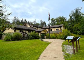
Offices

Safety and Ethics


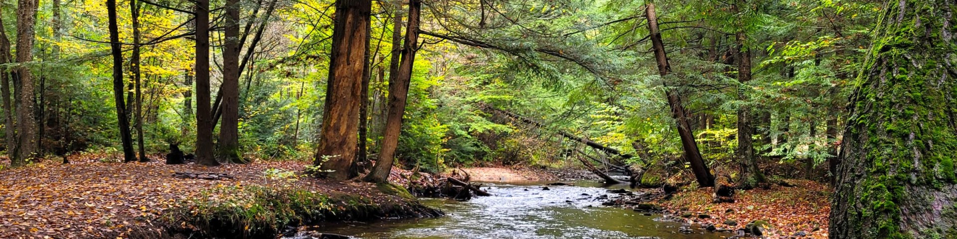
The Bradford Ranger District covers the northern half of the Allegheny National Forest. Highlights of this area include the Allegheny Reservoir,…
The Marienville Ranger District covers the southern half of the Allegheny National Forest. Highlights of this area include the Penoke, Marienville, &…

Lush green forest surrounds the 7,647-acre reservoir that spans the border between Pennsylvania and New York.
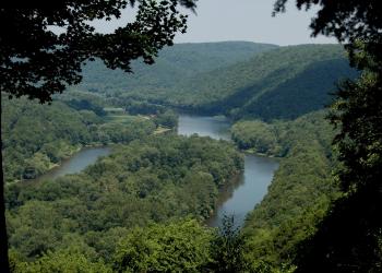
In 1992 (Public Law 102-271) added 87 miles of the Allegheny River to the National Wild & Scenic River System classified as Recreational.

The Clarion River is a designated Wild and Scenic River for 51.7 miles, from the border of the ANF/State Game Lands Number 44 boundary to an unnamed tributary at the backwa

This is an interconnecting trail system with 76 miles of trail. Trail season typically runs from the Friday before Memorial Day to the last Sunday in September.
Recreation
Beaver Meadows Hiking Trail & Day Use Area
The terrain around the lake is gentle, offering a leisurely hike. Opportunities to view wildlife are plentiful.Beaver Meadows LoopThis 3.0-mile loop is marked with off-white diamonds. South of the…
Black Cherry Trail
This is a hardened walking path that surrounds the impounded lake at Twin Lakes Recreation Area.
Brush Hollow Cross Country Ski and Hiking Trail
The Brush Hollow Trails offer three loops totaling 7.7 miles for cross-country skiing, hiking and mountain biking. The 5.6 mile Mill Creek Trail connects the Brush Hollow Trails with the Twin Lakes…
Buckaloons Recreation Area
Site Open
Buckaloons Recreation Area is located along the west bank of the Allegheny Wild and Scenic River, offering a one-lane, concrete boat launch for water access. Buckaloons is a great launch point to…
Buzzard Swamp Wildlife Viewing and Hiking Area
Site Open
Buzzard Swamp is a special management area that emphasizes wildlife management and recreation. The site contains 11.2 miles of inter-connected trails, offering some of the best wildlife viewing…
Clarion River Campsites
Site Open
Twenty-seven primitive, numbered campsites are dotted along the Clarion Wild and Scenic River from Irwin Run up to and along Millstone Creek. Campsites can be reached via River Road and FR 132. In…
Clarion Wild and Scenic River
Site Open
The Clarion River is a designated Wild and Scenic River for 51.7 miles, from the border of the ANF/State Game Lands Number 44 boundary to an unnamed tributary at the backwaters of Piney Dam.The…
Dewdrop Campground
Site Open
Dewdrop Campground is located along Longhouse National Scenic Byway. This 11-acre campground is nestled on the shoreline of Kinzua Bay, which extends southwest from the main body of the Allegheny…
Elijah Run Boat Launch and Shoreline Trail
Elijah Run Boat Launch and Shoreline Trail are on the west bank of the Allegheny Reservoir (Kinzua Arm), located on the Longhouse National Scenic Byway. This large launch is a popular location for…
Farnsworth Cabin
Site Open
Built in the 1930s by the Civilian Conservation Corps (CCC), the two-bedroom stone cabin was renovated in 2010 and now provides modern amenities. The cabin is equipped with electricity, forced air…