
Alerts
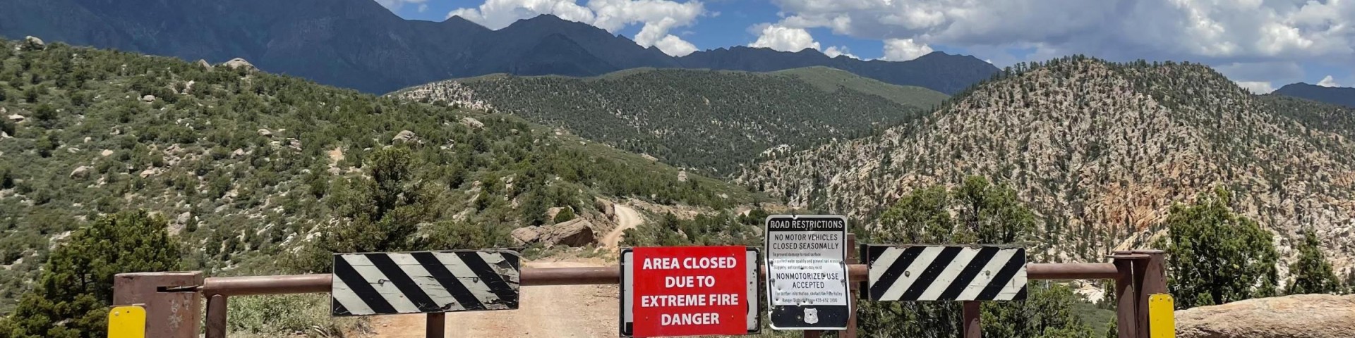
It is important to review the information provided on the Alerts page before recreating in the Humboldt-Toiyabe National Forest. Knowing closures, critical information, fire restrictions, and other updates helps prepare visitors for an enjoyable outdoor experience without any surprises.
The Alerts page also contains Forest Orders that outline the prohibitions, closures, and regulations for the Forest. Please note that these are subject to updates and changes. If you have questions regarding these orders, please direct them to the local Forest Service office.
Here are list of Forest Orders organized by Ranger Districts.
For more information about fire restrictions, please visit the Fire Restrictions page.
Forest Alerts
-
Dog Leash Requirement for Whites Creek & Thomas Creek (CARSON RD)
All dogs must be leashed at the Whites Creek and Thomas Creek trailheads or trails while sheep are grazing in the Arrowhawk Fuels Reduction Project area.
-
Bob Scott Campground Area and Road Closure (AUSTIN-TONOPAH RD)
The Bob Scott Campground and its access roads are closed while campground is undergoing renovations.
-
Twin Lakes Road Camping Prohibition (BRIDGEPORT RD)
No camping is allowed on either side of the Twin Lakes Road in order to protect natural resources.
-
Area, Road, and Trail Closures (SPRING MOUNTAINS NATIONAL RECREATION AREA)
A few of the most popular roads, trails, and developed recreation sites in Deer Creek, Kyle, and Lee Canyons on the Spring Mountains National Recreation Area sustained severe damage during Tropical Storm Hillary and are unsafe to use.
-
Mack’s Canyon Road Closure
Possessing or operating a motor vehicle on the described portion of NFS Road 45085, Mack’s Canyon Road, also known as NFS Road 45085, beginning at mile 2 and ending at its junction with NFSR 45065. The Described Road is in Section 22, Township 18 South, Range 56 East, Mt.
-
Under 21 Consumption (FOREST WIDE)
Prohibits individuals under 21 years old from possessing alcoholic beverages as defined by state law.
-
Areas, Roads, and Trails Restrictions (FOREST WIDE)
A list of prohibited acts and activities on National Forest System lands, areas, roads, and trails within the Humboldt-Toiyabe National Forest. The purpose of this order is to protect natural resources, property, and ensure the safety of all forest users.
-
Camping Occupancy and Use Restrictions (14 day camping limit) (FOREST WIDE)
Camping for more than fourteen (14) days within any thirty (30) day period is prohibited. This regulation is in place to protect natural resources and property, as well as to enhance recreational opportunities for all users of National Forest System lands.
-
Hoover Wilderness Area Occupancy and Use (BRIDGEPORT RD)
Guidelines for camping and recreation in the Hoover Wilderness aim to protect public safety, natural resources, and wilderness characteristics.
-
Restricted Use Mokelumne Wilderness Area
Recreation rules for the Mokelumne Wilderness Area, the Carson Pass Management Area, the Round Top Special Interest Area, and the Salt Springs Reservoir Area, to provide for public safety and protect natural resources.
-
Hoover Wilderness Food Storage (BRIDGEPORT RD)
It is essential to store food—both solid and liquid—as outlined in this order to minimize negative encounters between humans and wildlife, particularly bears.
-
Vehicle Snow Chains Requirements during Inclement Weather
Operating a motor vehicle when there is ice or snow on the Described Roads or Trails without either: at least two tire chains or traction devices, or 4-wheel drive capability with snow-rated tires on all wheels is prohibited on all National Forest System (NFS) roads and trails in the Spring Mount
-
Prohibition on Entering or using a Developed Recreation Site During a Posted Closure
Entering or using a Developed Recreation Site or portion thereof during posted closures is prohibited within the National Forest System Lands and Developed Recreation Sites within the Spring Mountains National Recreation Area, Humboldt-Toiyabe National Forest, described in the map incorporated in
-
Occupancy and Use Restrictions in the Peavine and Dog Valley Areas
Day use hours for the Peavine and Dog Valley areas
-
Jacks Valley Dog Leash Requirement
Dogs mush be leashed within the boundaries of the Forest Service System Lands in the Jacks Valley Wildlife Management area south and west of Jacks Valley Road, east of Highway 395 at Forest Boundary and to the south at the Forest Boundary within the Management area.
-
Mahogany Fire Rehabilitation Closure
Going into or being within the Mahogany Fire Rehabilitation Closure Area as shown on the attached map is prohibited until September 30, 2025, or until rescinded, whichever comes first.
-
Rainbow Canyon Flood Diversion Structure Closure
It is prohibited to go into or be upon any area which is closed for the protection of public health and safety in specific areas of the Rainbow Canyon subdivision in Mt. Charleston, Nevada - Rainbow Canyon Flood Diversion Structure Area.
-
Butterfly Collection Closure Area
Throughout the Spring Mountains National Recreation Area, possessing, storing, or transporting any of the following butterfly species in any life stage, including individuals or parts thereof: Mount Charleston blue, Spring Mountains acastus checkerspot, Spring Mountains dark blue, Morand's checke
-
Prohibition on Feeding Wild Horses and Burros
Entering the area while in possession of hay, pelletized hay, straw, mulch, grain, salt, mineral supplement, or other livestock feed for the purposes of feeding, attracting, or luring wild horses and burros is prohibited.
-
Occupancy and Use Restrictions in Lee Canyon Meadows
Specific acts are prohibited in the area described in this order, all within the Spring Mountains National Recreation Area, Humbolt-Toiyabe National Forest Until further notice.
-
Powell Canyon Road Closure (BRIDGEPORT RD)
Motor vehicles are not allowed on the section of Forest Service Road 42026, also known as Powell Canyon Road, that is marked as closed.
-
Cultural Area Closure (BRIDGEPORT RD)
Access to areas closed for the protection and privacy of tribal activities for traditional and cultural purposes is prohibited.
-
Dog Leash Requirement on the Carson Ranger District
Dogs must be on a leash or confined to a vehicle and the leash must be no longer than 6 feet in specific areas of the Carson Ranger District.
-
U.S. Marine Corps Mountain Warfare Training Center Intensive Use Area Closure (BRIDGEPORT RD)
All areas, roads, and trails within the boundaries of the U.S. Marine Corps Mountain Warfare Training Center base camp, located off State Highway 108 near Sonora Pass, are subject to this closure order.
-
Pacific Crest Trail Restrictions (BRIDGEPORT/CARSON RD)
Bicycle, tricycle or unicycle are prohibited on the Pacific Crest Trail.
-
Occupancy and Use Restrictions in the Whites, Thomas, Jones, and Galenas Creek Areas
Being in the described areas after 10p.m. and before 6a.m., camping or building, maintaining, attending, or using a fire, campfire, or stove fire, is prohibited unless otherwise under the criteria of an exemption.
-
Food and Refuse Storage Restrictions (Bridgeport Ranger District)
Food or refuse must be stored in the truck of a vehicle, or out of sight with the vehicle windows rolled up, or hung at least 15 feet above the ground and 10 feet away from tree trunks in the campgrounds and areas on the Bridgeport Ranger District listed below.
-
Possession of Cannabis (FOREST WIDE)
Possessing, storing, or transporting a cannabis plant(s) or any element of a cannabis plant or any substance derived from the manufacture of a cannabis plant is prohibited on all National Forest System lands within the Humboldt