
Alerts
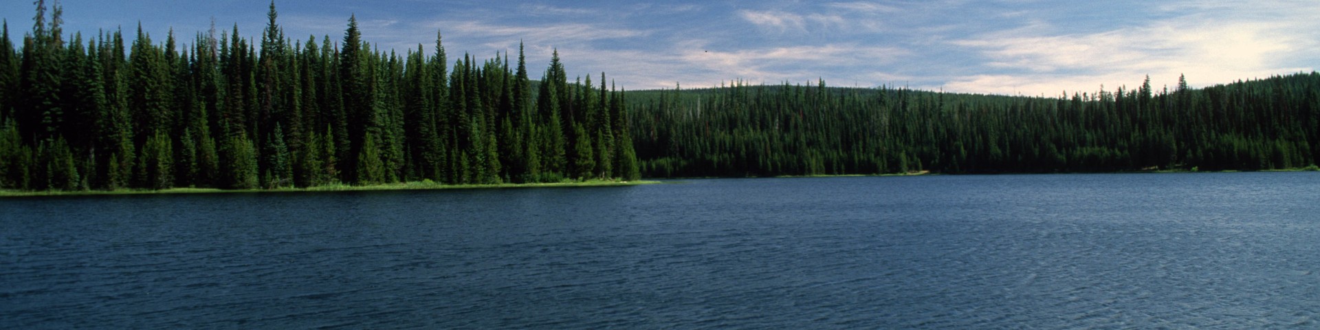
This page contains information on safety, area and location closures and forest orders issued for the Umatilla National Forest.
Forest Orders are legal prohibitions, which are issued by a National Forest Officer. They are issued when the Forest Officer considers them necessary for the protection or administration of the National Forest or for the promotion of public health, safety, or welfare. Each order includes a specific type of occupancy or use, period of time, and location.
Be aware that the condition of forest roads and recreation trails can change dramatically without warning; wind and rain events can have substantial and detrimental effects on road and trail conditions causing hazards and obstructions to travel. It is advisable to consult your local office before your trip. Please exercise caution and good judgement while traversing on roads that are still muddy and/or snow covered. Have a safe trip!
Other important resources:
- For the most up to date Public Use Restrictions, call our toll-free message phone at 1-877-958-9663 or visit our Public Use Restrictions webpage.
- Visit our Current Conditions webpage for local resources about forest roads and weather conditions.
Forest Alerts
-
Industrial Fire Precaution Levels (IFPL)
North Zone - (Pomeroy & Walla Walla Ranger Districts): Fire Danger: Low; IFPL: I; PURS: None
South Zone - (Heppner & North Fork John Day Ranger Districts): Fire Danger: Low; IFPL: I; PURS: None
-
Spout Springs Ski Area Information
Spout Springs Ski Area will be closed for the 2024-2025 season.
-
Mill Creek Municipal Watershed - Walla Walla Ranger District
FOREST ORDER# 06-14-06-24-07
Mill Creek Municipal Watershed -
Asotin Winter Range Closure - Pomeroy Ranger District
FOREST ORDER NO. 06-14-04-24-01
ASOTIN WINTER RANGE CLOSURE
-
Storm Damage Emergency Road Closure - Walla Walla Ranger District
The Storm Damage Emergency Road Closure for the Walla Walla Ranger District includes Forest Service Road (FSR) 3200 from the bridge over the South Fork Umatilla River in T3N R37E S22 to the hairprin turn at Thomas Creek in T2N R37E S13, a distance of approximately 8 miles.
-
Use of motorized vehicles National Forest System Roads and Trails: Spout Springs Ski Area
USE OF MOTORIZED VEHICLES ON AND OFF NATIONAL FOREST SYSTEM ROADS AND TRAILS
LOCATION: SPOUT SPRINGS SKI AREA -
Seasonal use of Motorized Vehicles National Forest System Roads: Andies Prairie Snow Play Area
SEASONAL USE OF MOTORIZED VEHICLES ON AND OFF NATIONAL FOREST SYSTEM ROADS
LOCATION: ANDIES PRAIRIE SNOW PLAY AREA -
Seasonal use of Motorized Vehicles National Forest System Roads: Horseshoe Prairie Nordic Area
SEASONAL USE OF MOTORIZED VEHICLES ON AND OFF NATIONAL FOREST SYSTEM ROADS
LOCATION: HORSESHOE PRAIRIE NORDIC AREA -
Use of Vehicles National Forest System Roads and Trails: Bluewood Ski Area
USE OF VEHICLES ON AND OFF NATIONAL FOREST SYSTEM ROADS AND TRAILS
LOCATION: BLUEWOOD SKI AREA -
Seasonal use of Motorized Vehicles National Forest System Roads: Meacham Divide Nordic Area
SEASONAL USE OF MOTORIZED VEHICLES ON AND OFF NATIONAL FOREST SYSTEM ROADS
LOCATION: MEACHAM DIVIDE NORDIC AREA -
14 Day Stay Limit
14-Day Stay Limit - Occupancy and Use
-
Panjab Trail #3127 bridge temporarily removed
Forest Service Officials have temporarily removed the Panjab Trail #3127 bridge to proactively mitigate potential post-fire debris flows that could damage the bridge this winter or next spring. The area experienced a runoff event in the spring of 2022, which created debris slides down Panja
-
Campground - Occupancy and Use
UMATILLA NATIONAL FOREST
Forest Order 06-14-00-22-17DEVELOPED CAMPGROUND CLOSURE
-
Over-snow Vehicle Restrictions
ORDER NO. 2012-0614-UMA-01
Pursuant to 36 CFR, Sec. 261.S0(a) and (b), the following acts are prohibited on the area described in this order within the Umatilla National Forest, until further notice.
-
Occupancy and Use in the Umatilla NF Wilderness Areas
Occupancy and Use in the Umatilla NF Wilderness Areas