

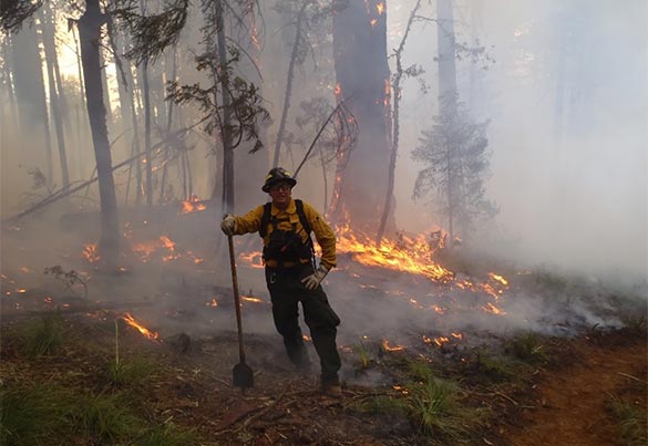
Public Wildland Fire Information
This webpage is dedicated to finding current national wildland fire activity and related educational resources sponsored by the USDA Forest Service.

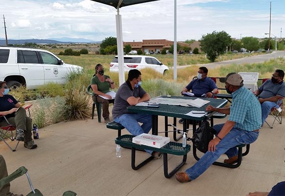
The Forest Service consults with Tribal Nations on policies that may affect Tribes. Office of Tribal Relations maintains a schedule for national-level consultation.

Forest Service strives to increase benefit for Tribes from Agency programs. The Agency also benefits from Tribal input, especially Indigenous knowledge.
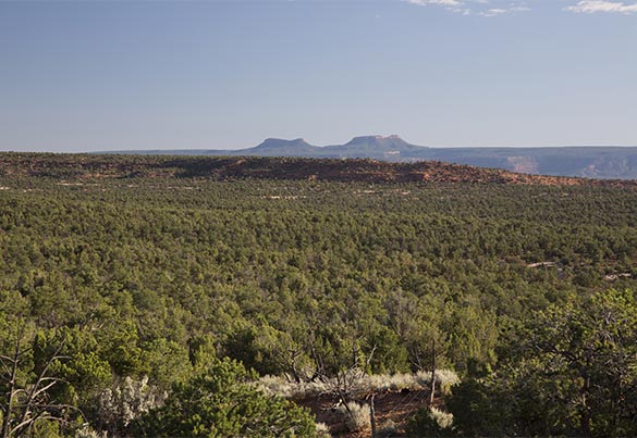
Federal land managing agencies hold in public trust a great diversity of landscapes and sites, including many culturally important sites held sacred by Tribal Nations.
Forest Service guide for reburials of human remains and cultural items, temporary closure and forest products for traditional and cultural use, and prohibition on information disclosure.
The Forest Service Research and Development Tribal Engagement Roadmap aims Tribal Nations to guide development of ethical and significant research partnerships with Tribal Nations.
The Dibaginjigaadeg Anishinaabe Ezhitwaad: A Tribal Climate Adaptation Menu is an extensive collection of climate change adaptation actions for natural resource management.
InciWeb
The interactive map above of the United States displays wildland fire, prescribed fire, Burned Area Emergency Response, and other natural and human caused all-risk incidents.
InciWeb (available in a full-screen version), is an interagency all-risk incident information management system. The web-based program provides information for wildland fire emergencies and prescribed fires, but can also be used for other natural disasters and emergency incidents such as earthquakes, floods, hurricanes, tornadoes, etc.
The system was developed with two primary missions:
Provide the public a single source of incident related information.
Provide a standardized reporting tool for the public affairs community official announcements include evacuations, road closures, news releases, maps, photographs, and basic information and current situation about the incident.
InciWeb also hosts an extensive listing of wildland fire terminology.
Interactive Wildfire Map
The interactive map shown above is the Enterprise Geospatial Map from the National Interagency Fire Center (NIFC). The map is another way to get the latest incident specific wildland fire data. The data includes the number of personnel assigned to an incident, cost of the incident, acres burned, percentage of the perimeter contained, structures threatened, and many other details.
The Enterprise Geospatial Map is also available in a full screen version.
Interactive Map of Air Quality
The interactive map above displays current air quality throughout North America.
AirNow (available in a Full-Screen version), is your one-stop source for air quality data. Our recently redesigned site highlights air quality in your local area first, while still providing air quality information at state, national, and world views. A new interactive map even lets you zoom out to get the big picture or drill down to see data for a single air quality monitor. AirNow also hosts current fire conditions including fire locations, smoke plumes, and air quality data from permanent and temporary air quality monitors.
National Wildland Fire Preparedness Level (PL)

PL 2: More large wildland fires are burning throughout the country, requiring resources to be mobilized from different areas.
The nation rose to PL 2 on March 28 at 5:00 p.m. (MST) from PL 1. This increase is due to wildfire activity in more than one geographic area and an increasing risk of wildfires in many states.
Further information on National Wildland Fire Preparedness Levels 1 - 5 can be found on the NIFC Website.
The National Interagency Fire Center

The National Interagency Fire Center (NIFC), located in Boise, Idaho, is the nation's support center for wildland firefighting. Nine different agencies and organizations are part of NIFC. Decisions are made using the interagency cooperation concept because NIFC has no single director or manager.
The agencies that are represented here share firefighting supplies, equipment, and personnel, which helps ensure efficient and cost-effective incident management. They also work together to establish policy, exchange information, and train personnel.
Unmanned Aircraft Systems (Drones)
Going on the Offensive in the South

Communities across the South are taking action now to mitigate against the risk of catastrophic wildfires.
Social
| Tweets by inciweb | Tweets by FS at NIFC |
Community Information

Wildfire Risk to Communities is a free, easy-to-use website with interactive maps, charts, and resources to help communities understand, explore, and reduce wildfire risk. It was created by the USDA Forest Service under the direction of Congress and is designed to help community leaders, such as elected officials, community planners, and fire managers. This is the first time wildfire risk to communities has been mapped nationwide.
FIRMS and NASA

FIRMS US/Canada is a joint effort by NASA and the USDA Forest Service to provide access to low latency satellite imagery and science data products from Earth Observation System (EOS) satellite assets to identify the location, extent and intensity of wildfire activity and its effects.
Fire Enterprise Geospatial Portal

Fire Enterprise Geospatial Portal (EGP) is the authoritative source of standardized geospatial information for the full range of wildfire activities ranging from readiness to response to planning.
Fire EGP leverages multiple sources of spatial data for mapping, decision support, business intelligence, and situational awareness through multiple tools to view and analyze wildland fire data.
It is a web based interface that allows you to learn information about an incident geospatially. In other words, you can find the wildfire you are interested in on the map, click it and learn things like: size; containment; ownership; perimeter; hot spots; historical fire occurrence; fire weather, etc.